Conversion: "real" coordinates to model coordinates
Source:R/conversion.R
convRealToModelCoordinates.RdConversion: "real" coordinates to model coordinates
convRealToModelCoordinates(gisData, dx = 1, dy = 1, y = NULL)
Arguments
| gisData | data.frame() as retrieved by importShapefiles() |
|---|---|
| dx | horizontal model grid spacing (Default: 1) |
| dy | vertical model grid spacing (Default: 1) |
| y | vertical model extent (Default: NULL, i.e. maximum filter screen depth below ground level) |
Examples
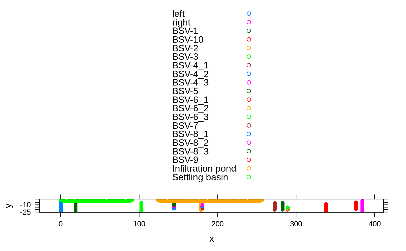
shp.dir <- system.file("extdata", "qgis", package="kwb.demeau") shp.files <- dir(path = shp.dir, pattern = ".shp", full.names = TRUE) gisData <- importShapefiles(shp.files) ### Optionally remove some features # gisData <- removeFeatures(gisData = gisData, ignoreFeatureIDs = c(3,20)) modelCoords <- convRealToModelCoordinates(gisData, dx=1, dy=1)#> #>xyplot(y ~ x, groups = Name, data=modelCoords, pch=16, auto.key=TRUE)